UAE Moves to Secure Round-the-Clock Satellite View of Earth With Advanced Radar Network
By Thasmiya
The UAE is strengthening its ability to monitor Earth **24 hours a day, in almost any weather**, as Abu Dhabi-based Space42 expands its sovereign satellite observation network.
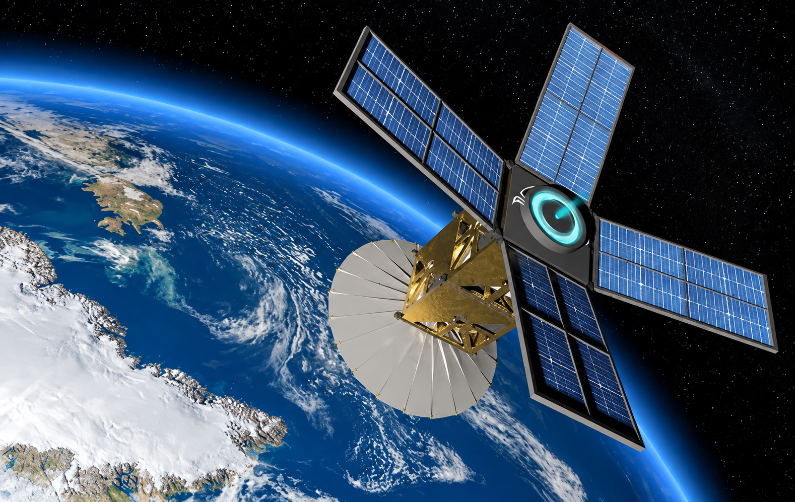
At the centre of the programme is the **Foresight Earth Observation constellation**, which currently consists of five Synthetic Aperture Radar (SAR) satellites. Unlike conventional optical satellites, SAR technology can capture useful imagery at night and through cloud, haze and dust.
The project is part of a wider push to give the UAE faster and more independent access to satellite intelligence for disaster response, infrastructure monitoring, climate observation, logistics and other strategic applications.
## **What is the UAE’s Foresight satellite network?**
Foresight is a satellite Earth-observation programme operated by Space42, the UAE-based AI-powered SpaceTech company formed through the merger of Bayanat and Yahsat.
The constellation currently includes **five operational SAR satellites**.
Its latest spacecraft — **Foresight-3, Foresight-4 and Foresight-5** — entered full operation in June 2026 after being launched into low Earth orbit in November 2025. They joined Foresight-1 and Foresight-2, significantly expanding the network’s observation capability.
## **Why SAR satellites are different**
Traditional Earth-observation cameras depend heavily on visible light. Darkness, clouds, dust and poor weather can therefore limit what they can see.
Synthetic Aperture Radar works differently.
The satellites send radar signals towards Earth and measure the signals reflected back from the surface. This allows the system to collect imagery **during the day or night and through cloud, haze and dust**.
For a country where dust and atmospheric conditions can sometimes limit conventional satellite imagery, that provides an important advantage.
## **Can the UAE really monitor Earth 24/7?**
The goal is persistent, round-the-clock observation rather than one satellite continuously staring at every location on Earth.
Multiple satellites operating in complementary orbits can revisit important areas more frequently. Space42 says the five-satellite constellation enables continuous data acquisition, while additional satellites planned for **2027** are expected to bring the Foresight constellation towards full maturity.
As more satellites are added, the time between observations of important locations can become shorter.
## **Images as detailed as 25 centimetres**
The Foresight system can provide SAR imagery at up to **25-centimetre ground resolution**.
That level of detail can help analysts detect relatively small changes on the Earth’s surface and compare images taken at different times.
The three latest satellites operate in mid-inclined low Earth orbits, expanding monitoring across strategically important regions where Space42 says more than 90% of the world’s population lives.
## **AI turns satellite images into useful information**
Capturing images is only part of the system.
Data collected by Foresight is fed into **GIQ**, Space42’s AI-powered geospatial intelligence platform.
GIQ analyses raw satellite data and converts it into what the company describes as decision-grade intelligence within minutes rather than days.
This could allow authorities and organisations to identify changes on the ground faster instead of manually examining large volumes of satellite imagery.
## **What can the satellites be used for?**
The technology has potential applications across several sectors, including:
- Disaster and emergency response - Flood and natural-hazard monitoring - Climate and environmental observation - Infrastructure monitoring - Urban planning - Port and logistics monitoring - Land movement and subsidence detection - Strategic and national-security applications
Space42 says its AI-supported geospatial system can help reduce emergency response times by up to **90%**, predictive-maintenance costs by up to **30%** and operational inefficiencies by up to **25%**, based on the company’s reported performance metrics.
## **Satellite intelligence could help during disasters**
One of the biggest benefits of SAR technology is its ability to observe areas during severe weather.
Cloud cover can make conventional optical imagery difficult to use during floods, storms and other emergencies — precisely when authorities may need updated information most.
Radar satellites can continue collecting imagery under those conditions, helping emergency teams compare affected areas, identify changes and assess infrastructure.
Space42’s radar data has previously supported emergency monitoring following the Turkey earthquake and during the UAE’s severe flooding in 2024.
## **Building more of the capability inside the UAE**
The project is also about developing the country’s domestic space industry.
Foresight-3, Foresight-4 and Foresight-5 were manufactured in partnership with Finnish SAR specialist ICEYE.
Crucially, integration and testing were completed at Space42’s **Assembly, Integration and Testing facility in Abu Dhabi**. The facility is described by Space42 as the first commercial SAR satellite AIT facility in the Middle East and North Africa.
This helps transfer technical expertise into the UAE while developing local engineering, manufacturing and satellite-testing capabilities.
## **Why satellite sovereignty matters**
Another major objective is reducing dependence on external satellite imagery providers.
A sovereign Earth-observation system gives the UAE greater control over **what areas are observed, when they are observed and how quickly the information can be processed**.
Space42 describes Foresight as the first sovereign Earth-observation SAR constellation in the GCC.
This could be particularly important when rapid information is required during emergencies or for critical infrastructure.
## **More satellites are coming in 2027**
The five satellites currently in orbit are not expected to be the final configuration.
Space42 officials have said the **next batch of Foresight satellites is scheduled for launch in 2027**, which is expected to complete the constellation’s planned maturity.
Adding more satellites should increase revisit frequency and strengthen the UAE’s ability to obtain updated imagery of important locations.
## **Why this matters**
The UAE’s satellite ambitions are moving beyond simply launching spacecraft.
Foresight combines **radar satellites, local satellite infrastructure and artificial intelligence** into one Earth-observation system capable of operating regardless of daylight and many weather conditions.
For residents, the technology could ultimately support areas that directly affect everyday life — from responding faster to floods and monitoring roads and infrastructure to improving urban planning and environmental observation.
With five SAR satellites already operational and another expansion planned for 2027, the UAE is building towards a more persistent, locally controlled view of what is happening on Earth.
## Related Reads - [New UPI Charges From October 15: What UAE NRIs Need to Know Before Paying](/post/new-upi-charges-october-15-uae-nris-need) - [Sharjah Unveils New Al Taawun Square Design as Major Traffic Upgrade Nears November Opening](/post/sharjah-unveils-new-al-taawun-square-design-major) - [UAE Gold Rate Today: How Dubai Gold Prices Are Calculated and Why They Change Daily](/post/uae-gold-rate-today-dubai-gold-prices-calculated) - [What Business Would You Start With AED 400K in the UAE? 8 Ideas Worth Exploring](/post/business-would-start-aed-400k-uae-8-ideas) - [More stories like this](/category/news)